Corporate Welfare Disguised as Progress
The facts about who really benefits from these gas plants
Industrial Coalition Protests Entergy's Deal
"Entergy should not be allowed to use its monopoly structure to unreasonably impose financial risks on its existing captive ratepayers to serve the new data center load, while it reaps the return-on-equity benefits" — Louisiana Energy Users Group, including Exxon and Dow Chemical
Even major industrial corporations are protesting this arrangement that socializes costs while privatizing benefits.
- 2.3 gigawatts of electricity demand
- Equivalent to 2.3 times New Orleans' usage
- Gets subsidized rates for 15 years only
- Ratepayers liable for 30+ year plant costs
Entergy rushed approval to meet Meta's timeline without competitive bidding
"Higher natural gas prices in 2025 and 2026 are the result of strong export growth that persistently outpaces U.S. natural gas production" — U.S. Energy Information Administration
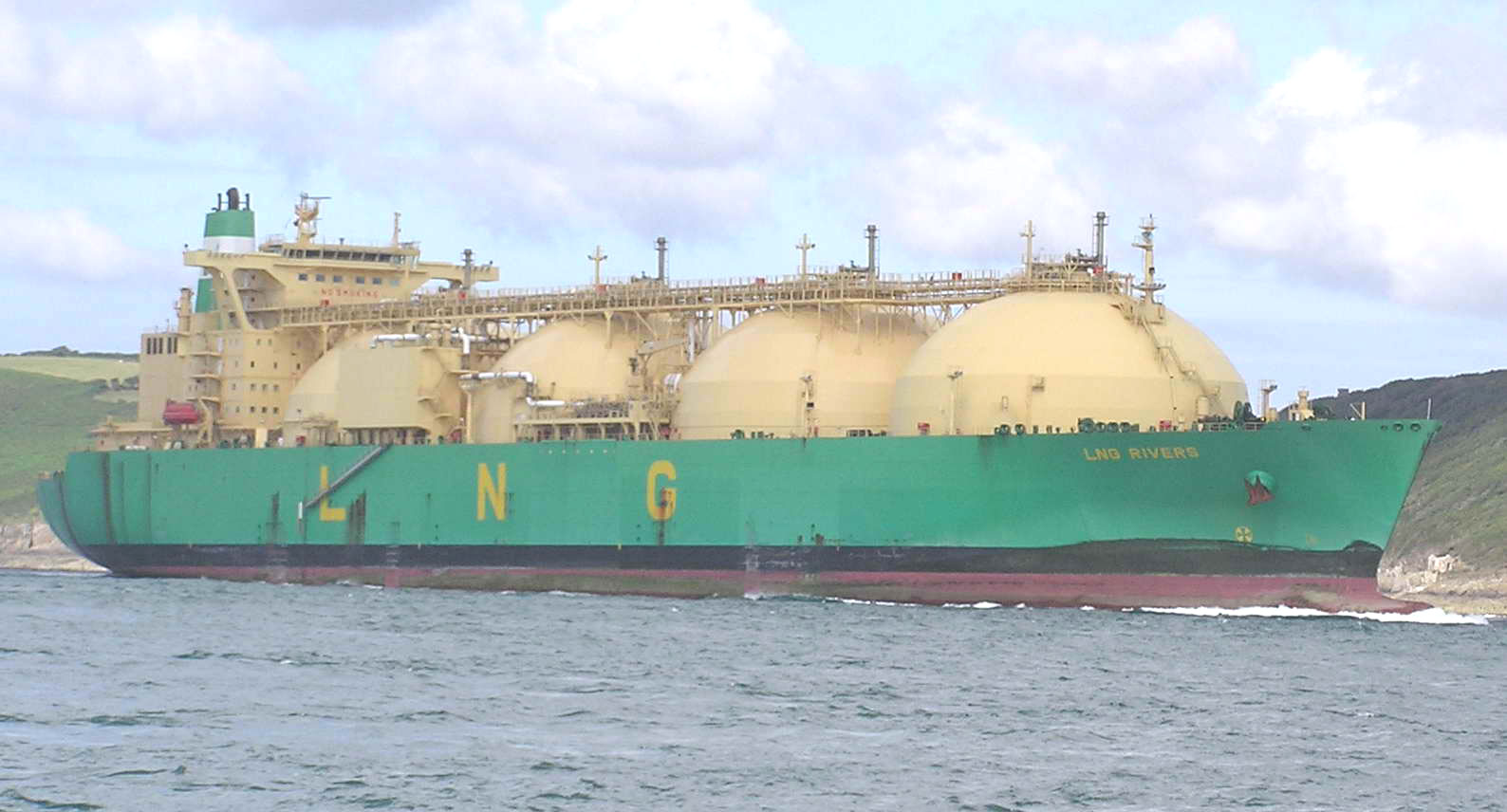
- Louisiana handles 61% of U.S. LNG exports
- Export demand raises domestic gas prices
- More gas plants = more price volatility for residents
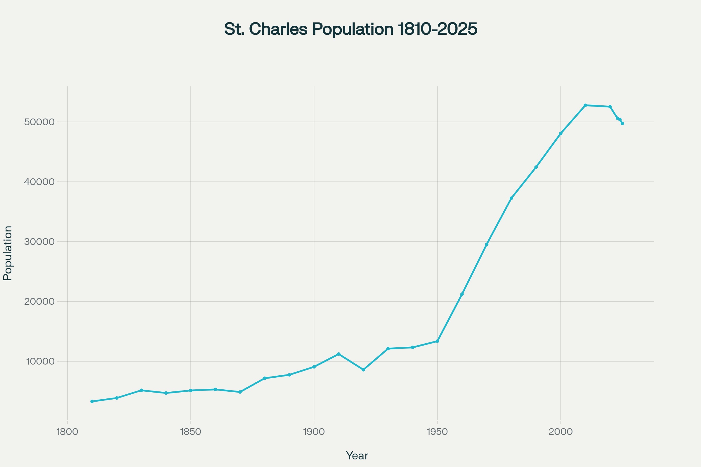
- Population peaked in 2010 at 52,780
- Down to 49,744 by 2025 (5.7% decline)
- Fewer residents = higher per-capita costs
- Parish produces 19.5x more electricity than it uses
If these projects create prosperity, why is population declining?
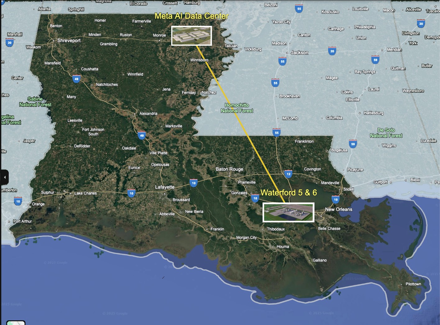
The Smoking Gun: Why Build Plants 200+ Miles Away?
Geographic Reality Exposes the Scam
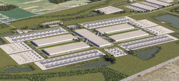
Meta's data center is in Richland Parish (near Monroe). Waterford 5 & 6 will be in St. Charles Parish (near New Orleans) - over 200 miles apart.
If these plants are really "for" Meta's data center, why is Entergy building them hundreds of miles away when they're already building TWO gas plants right next to the data center in Richland Parish?
Transmission Losses & Inefficiencies:
- 2-4% electricity lost in 200-mile transmission
- Higher infrastructure costs for transmission lines
- Reduced grid reliability over long distances
- Industry best practice: locate generation near load
What This Really Reveals:
- Rate base expansion disguised as customer service
- Guaranteed profits on expensive transmission infrastructure
- Multi-purpose plants can justify broader rate increases
- Entergy already building plants right next to Meta's facility
Key Fact from Entergy's Own Announcement:
"Build three combined-cycle combustion turbines with a combined capacity of 2,260 megawatts, two of which will be in Richland Parish" — Entergy Louisiana press release
If the purpose is serving Meta's data center, why build additional plants 200+ miles away when you're already building plants right next to the facility?
More Pollution in Cancer Alley
Adding fossil fuel infrastructure to already overburdened communities
3rd highest cancer rates in the nation
UN condemns disproportionate pollution burden
63% of capacity failed during Winter Storm Elliott
Historic area bears new pollution burden
More fossil fuel dependence worsens storms
Massive cooling needs stress river systems
"This form of environmental racism poses serious and disproportionate threats to the enjoyment of several human rights of its largely African American residents, including the right to equality and non-discrimination, the right to life, the right to health, right to an adequate standard of living and cultural rights"
— UN Human Rights Experts on Louisiana's Cancer Alley
St. Charles Parish communities already bear disproportionate pollution burdens. Adding more fossil fuel infrastructure perpetuates this documented pattern of environmental racism.
What Experts and Advocates Are Saying
Real concerns from regulators, scientists, and community leaders
"Any costs that Meta doesn't pay will go to the ratepayers. There's no doubt that the benefits are not accruing to the people who are bearing the costs."

Paul Arbaje
Union of Concerned Scientists
"I believe my most important job as a regulator is to trust but verify and the truth is, there were a lot of things that I just cannot verify at this moment. The fundamentals at the heart of this proposal were just too bitter for me to swallow."

Commissioner Davante Lewis
Louisiana PSC (Dissenting Vote)
"Our community is surrounded by industrial facilities sucking the life out of us daily with excessive cancer causing pollution. These pollutants have affected our health causing lung, prostate, liver, pancreas, and breast cancer."

Barbara Washington
Inclusive Louisiana
"We're dying from inhaling the industries' pollution. I feel like it's a death sentence. Like we are getting cremated, but not getting burnt."
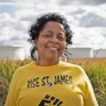
Sharon Lavigne
Rise St. James, Goldman Prize Winner
"The push to force through approval of the Meta proposal is illustrative of our greatest concern – that corporate utilities believe the Louisiana Public Service Commission answers first and foremost to them, not Louisiana ratepayers."

Logan Atkinson Burke
Alliance for Affordable Energy
"Entergy can't keep the lights on on a good day."

Logan Wolfe
Earthworks